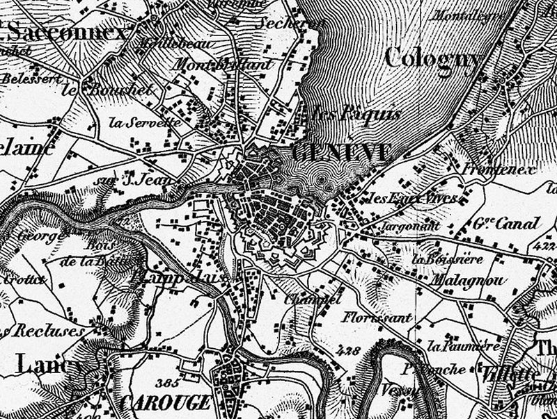
You’ve gotta hand it to the swiss. Follow this link and you will land in an interactive high-resolution historical map of Switzerland, with an impressive detail level that allows you to time-travel 175 years in map-making, witnessing city walls being replaced by roads and towns engulfed by cities. Mind you: this is for all Switzerland, not just a city.
Also: beautiful-yet-functional typography. Look at this g:

Also: 2013 marks the 150th anniversary of Thomas Cook’s first tour of Switzerland. A fascinating story that the author Diccon Bewes retells in his book, Slow Train to Switzerland.
(oh, yeah, and it’s also the 150th anniversary of the Red Cross)
Also: When we were living in Barcelona, I found a similar resource made available by the cccb: historical maps of the city, overlapped.